1.Background
The city of Farsala is the center of the Municipality, with strong administrative, financial and agricultural influence in the area. Its population is 9,801 people (2001 census). The city is built on the foothills of Prophet Elijah, which is part of the Narthacius mountains.
2. Geographic Location
The Municipality of Farsala is the southernmost part of the prefecture of Larissa. It has borders with the prefecture of Trikala and the prefecture of Karditsa to the west, with the prefecture of Magnesia to the south and east, with the prefecture of Phthiotis to the south, and with the Municipality of Kileler of the prefecture of Larissa to the north-northeast. It is surrounded by the Narthacius mountains to the south, and the Fillio and Chalcedonio mountain to the north. Furthermore, the area consists of plains, mainly in the Municipal Units of Enipeus and Polidamanta, whereas the highest point of the Municipal Unit of Narthaki (semi-montane area) reaches up to 3,608 feet.
The Enipeus and Apidanos River flow through the plain of the Municipality.
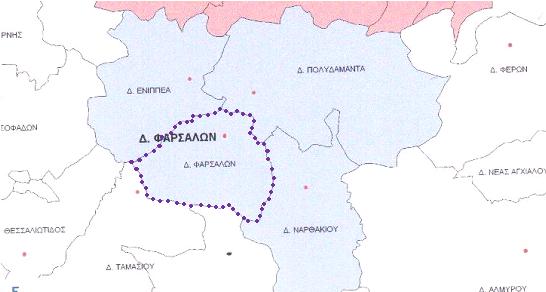
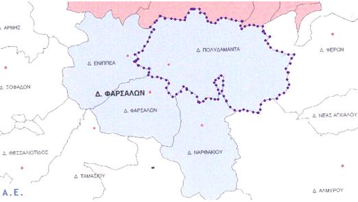
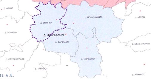
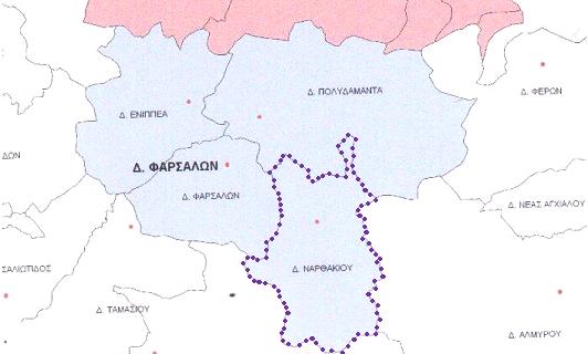
3.Administrative structure
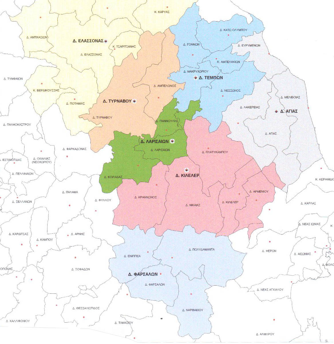
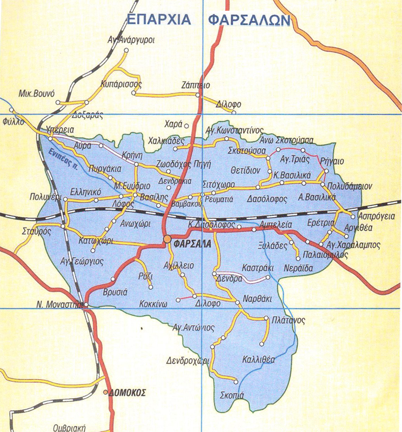
The Municipality of Farsala is divided administratively into 4 Municipal Units: the Municipal Unit of Farsala, the Municipal Unit of Polidamanta, the Municipal Unit of Enipeus and the Municipal Unit of Narthaki.